Mediterranean Institute for Agriculture, Environment and Development
MORE MED NEWS
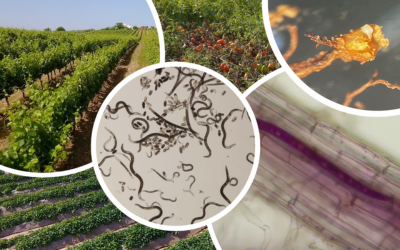
A importância dos nemátodes fitoparasitas na sustentabilidade dos sistemas agrícolas
Os nemátodes fitoparasitas constituem um fator limitante na agricultura em todo o mundo, representando uma ameaça para a produção sustentável, segurança alimentar, e biodiversidade. Uma vez que a valorização, proteção e uso eficiente dos recursos naturais é um dos...
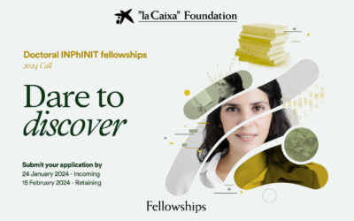
Doctoral INPhINIT Fellowships – Incoming – la Caixa 2024 call (MED – UÉvora)
In the framework of the “la Caixa” Doctoral INPhINIT Fellowships Call 2024, MED has two offers for the Incoming programme: Ecosystem services and benefits of urban green infrastructure | Group Leader: Prof. Anabela Belo, MED-UÉvora (details here) Towards large-scale...
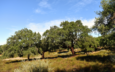
Pagamentos por resultados agro-ambientais: o que são e como podem beneficiar o Montado
As medidas agro-ambientais (e climáticas), são instrumentos da Política Agrícola Comum (PAC) que pretendem favorecer uma agricultura mais sustentável e amiga do ambiente, incentivando os agricultores a proteger e aumentar a qualidade ambiental das suas explorações...
International contest for a researcher – Agrarian and Environmental Sciences (PRR Montados Net-Zero/Proj. SOLO)
An international call is open for the recruitment of a researcher in the scientific area of Agricultural and Environmental Sciences, specialising in Soil Sciences, within the scope of the projects "Montados Net -Zero - Innovation networks to increase resilience and...
Plant Diseases and Sustainable Agriculture
Invitation to submit to the Special Issue "Plant Diseases and Sustainable Agriculture" on Plants (ISSN 2223-7747), section "Plant Protection and Biotic Interactions". Special Issue Editors Margarida Espada (MED – University of Évora) Cláudia Vicente (MED – University...
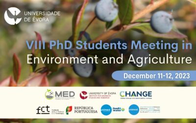
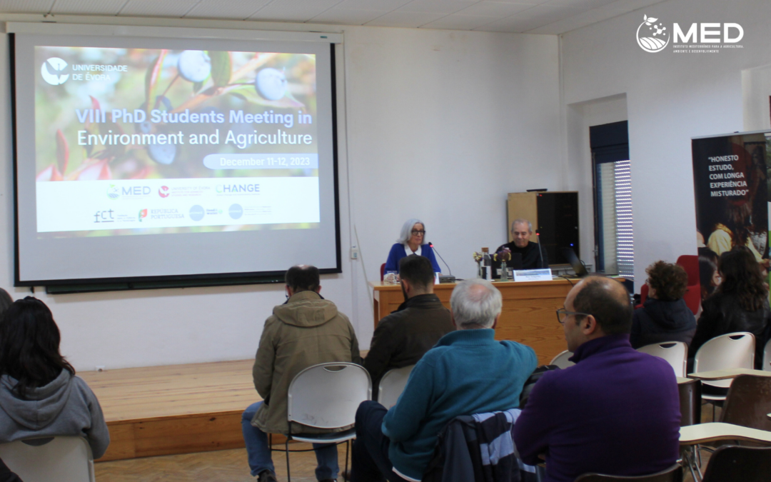
PhD Students Meeting in Environment and Agriculture 2023
The PhD Students Meeting in Environment and Agriculture (EEDAA) returns for another edition and will take place on December 11 and 12, at the University of Évora - Mitra Campus. This meeting aims to create a space for PhD students to meet, in order to stimulate...
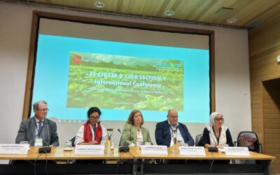
International Congress on Rural Engineering and Organisation and Work Safety in Agriculture took place at UÉvora with the collaboration of MED
The 40th International Conference of CIOSTA (International Commission for the Organization and Safety of Work in Agriculture) and Section V of CIGR (World Association of Rural Engineering) took place at the University of Évora on the 11th, 12th and 13th of September....
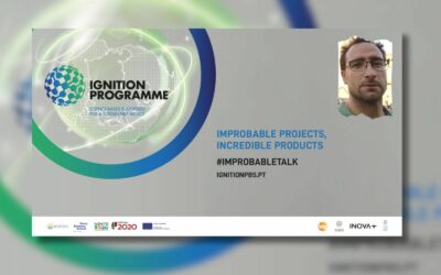
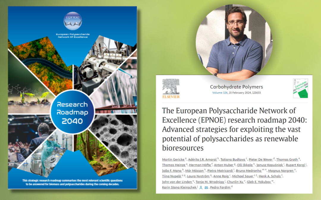
Bruno Medronho, MED-UAlg researcher, was a guest at the Ignition Program where he spoke about methodologies for the valorization of agroforestry waste
Bruno Medronho, MED-UAlg researcher, was invited by Porto Business School to take part in the "Improbable talks" initiative as part of the Ignition Programme. This multidisciplinary programme is directly linked to R&D activities and its mission is to prepare...
NOV 4-8, 2024
ITD24 Strategic Conference on Inter- and Transdisciplinarity Beyond Buzzwords
ITD24 Strategic Conference on Inter- and Transdisciplinarity Beyond Buzzwords: Educational Pathways for Sustainable Research Collaborations | 4 – 8 November 2024 in Utrecht, The Netherlands


